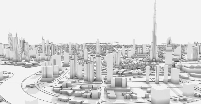
The Dubai Municipality has started a new project called the '3D Infrastructure and Service Lines Map' This project will be an integrated model to provide the latest smart technology and services.
A press release from WAM states that the project will use advanced technology to create a 3D scan of the underground service line. This will provide all necessary information and ensure the accuracy of the geospatial database. The 3D model will also allow for information accuracy while helping to provide great services.
WHAT THE 3D INFRASTRUCTURE AND SERVICE LINES MAP WILL INVOLVE
The Dubai Municipality is collecting information about underground services. This includes information on irrigation, sewage, and rainwater lines, as well as lighting, power, and water lines from the Roads and Transport Authority. The Municipality will take a closer look at the information and give it to the data owners to update. This is important to help the Municipality meet its goal of creating a digital copy of the city. The digital copy of the city will make it easier and faster to work on projects like building permits and infrastructure projects. So, the project's long-term benefits are significant.
Dawoud Al Hajri, the Director-General of Dubai Municipality, said that they will do a big study. This will help them find the best ways to use technology to make a 3D model and map of everything underground, like pipes and wires. They will then be able to bring all the information together in one place.
The study will look at modern technologies for making maps of underground infrastructure, like ground penetrating radar (GPR), and choose the best one. This will make sure the collection of data all over Dubai is sustainable while also keeping the information up to date.
This project will happen in two parts. First, an assessment of technology from all over the world will make sure they have a good fit that is available. The Dubai Municipality team will also learn how to use it. In the second part, the Dubai Municipality will use this technology to check the city’s infrastructure. This will then allow for the updating of relevant information.
EXPAND YOUR REAL ESTATE KNOWLEDGE
Subscribe to the Cityscape Intelligence newsletter here

